Route Summary
Start point: Glen Esk car park
Distance: Around 10 miles
Elevation gain: Just under 600 m
Route map: OS Maps plotted route
Terrain: Track, steep, narrow path sections, and boggy/faint path across open moorland
Navigation notes: Tricky navigation across the open moorland in poor visibility
A note on planning
This route description reflects my own experience and is not intended as instruction. Planning should take into account the conditions on the day and the current access information.
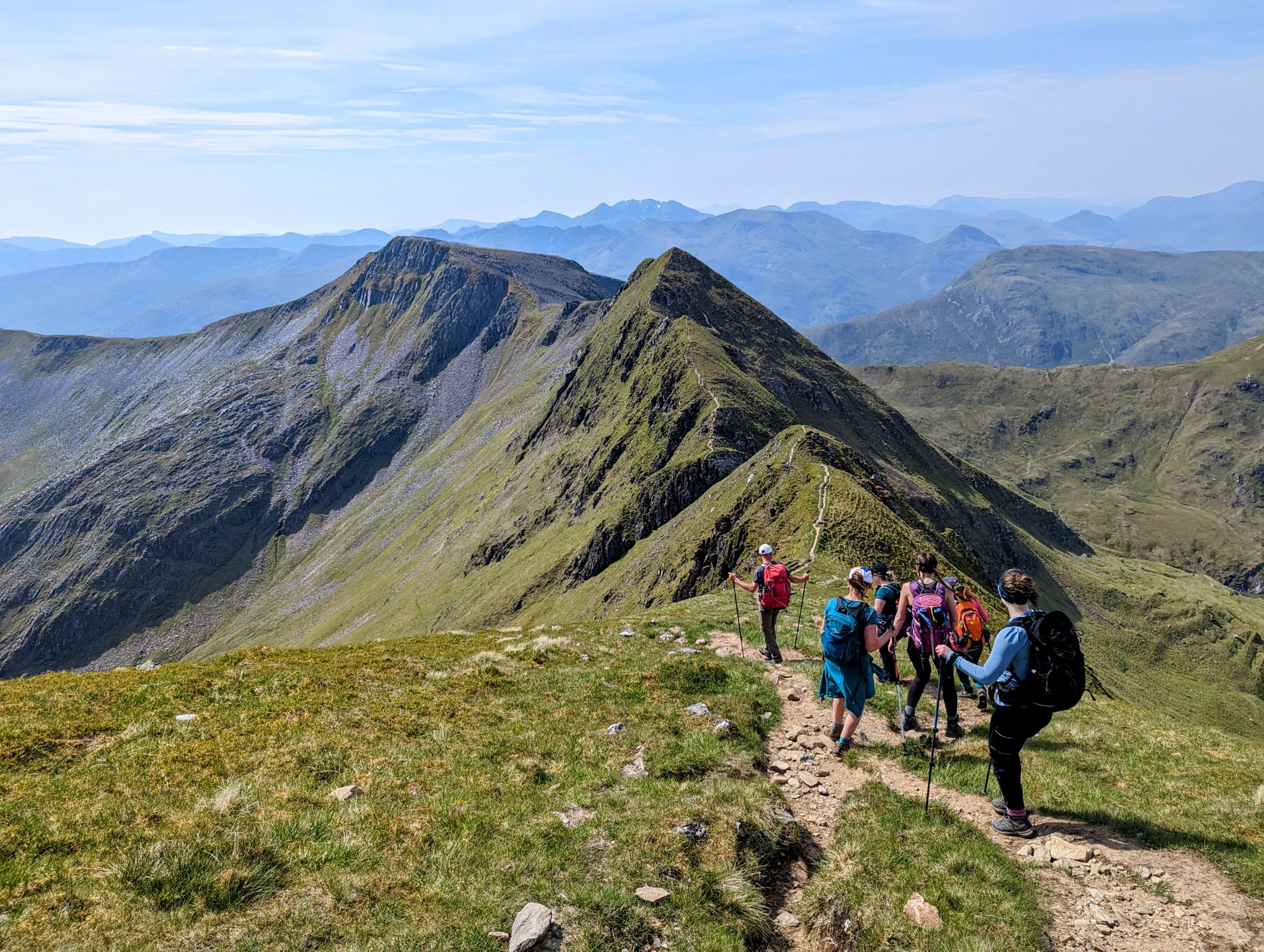
Why This Route Is Worth Considering
If you’re a fan of waterfalls and good views, this hike is a great choice. Part of my Hikes with Dad series, we explore the beautiful and rugged terrain around the Falls of Unich and Loch Lee in Glen Esk. These hikes are part of my dad’s recovery journey after a knee replacement at the start of 2024.
Start location & Facilities
The walk begins at Glen Esk car park, which is easy to find and has plenty of space. Parking is free. However, there are no toilets on site. The nearest facilities are in Tarfside, a short drive away. Plan ahead if you need a pre-hike pit stop!
Heading Out

The route begins on an undulating, easy-going track that traces the edge of firstly River Esk, and then Loch Lee. Water lies on one side and hills on the other. It’s a peaceful and scenic start, easing you into the day. The falls remain hidden, but the quiet stretch along the loch builds a sense of anticipation and the views gradually become more dramatic.


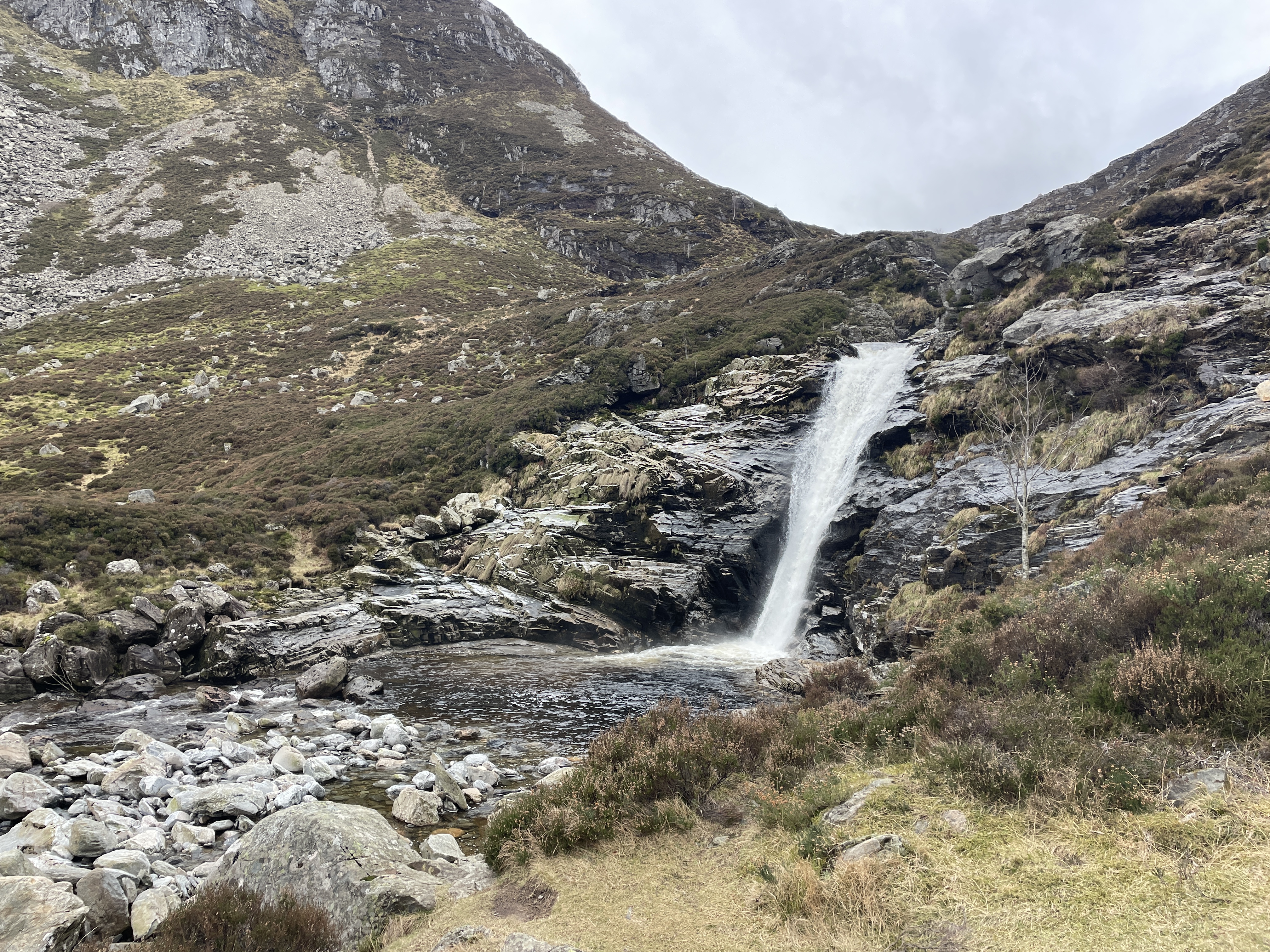
Reaching the Falls of Unich feels like stepping into a secret spot tucked away from the rest of the glen. A faint, sometimes boggy path breaks away from the main track and heads directly towards the cascading water.

Break Spot Recommendation
The steady climb beside the Falls of Unich offers dramatic views. It provides a good excuse to take your time and plenty of photos on the way up. There are lots of different plunge pools and waterfall sections during the ascent that would provide the perfect break spot. This area may also offer some shelter from the prevailing winds, depending on conditions.

Navigating the Moorland
The route becomes noticeably less defined once you reach the plateau beyond the falls. This featureless moorland section requires more concentration and solid navigation skills. I’d highly recommend bringing a map and compass or a digital OS Map download for this part, especially in poor visibility. There are also really boggy sections before a bridged river crossing, take your time to avoid a slip there!

Loch Lee: A Rewarding Return
After crossing the open ground, the route leads back towards Loch Lee, giving an elevated view of the entire loch. This makes a perfect spot for another break. It’s an exposed area. On windy days, you may prefer to take some quick photos and continue on!


You descend down a wide track back to Loch Lee. The route then rejoins the original track that was used for the outward journey. This final section lets you switch off and relax on the easy track back to your car.
Kit Notes
On this hike, Dad and I both wore Keela Outdoor pieces, which performed really well in mixed conditions. I wore the women’s fit Stratus jacket. Keela kindly gave it to me to test. I bought Dad the Pinnacle jacket and Nevis trousers as a treat, they are his go-to outfit for hikes.


Ciss Outdoors is an independent outdoor and travel publication exploring places through time spent outside. Writing draws on personal experience and regional familiarity, with an emphasis on practical judgement.
Related reading:
Hiking to Bachnagairn and Davy’s Bourach: A Wild Loop from Glen Doll
Glen Doll to Corrie Fee: A Scenic, Accessible Hike in the Angus Glens

Leave a Reply